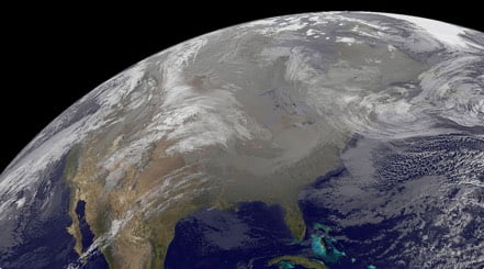
After burying parts of the central Plains in snow, a developing winter storm system heads east today. This will leave a trail of snow and ice from the Mid-Mississippi Valley into the Mid-Atlantic.
A strengthening low pressure system will move from the Deep South and Southeast into the Atlantic Ocean today. This low pressure will send plenty of warm, moist Gulf air northward. Meanwhile, a strong Canadian high pressure will be settled just to the north of the low pressure, sending very cold, dry air southward. A major winter storm is expected where these two air masses collide.
Precipitation will move along and just to the north of this low pressure system today, moving west-to-east across East. Temperatures will be cold enough for snow to fall across the southern Ohio and Tennessee valleys and southern Mid-Atlantic. Expect mainly light to moderate snowfall for these locations. However, a period of moderate to heavy snow is possible across southeastern Virginia and northeastern North Carolina into parts of the Delmarva Peninsula this evening.
Immediately south of the snow, things will get more complicated in terms of precipitation type. A thin ribbon of freezing rain or a mix of snow, sleet and freezing rain is possible for parts of northern Mississippi, Alabama and Georgia into the afternoon. Southeastern North Carolina and parts of northern South Carolina are then expected to see a better period of freezing rain this evening into early Thursday morning. Some snow or sleet could also mix in at times. Rain and perhaps a few thunderstorms will soak the rest of the Deep South and Southeast.
When all is said and done, a general swath of 1 to 4 inches of snow will be found from the Mid-Mississippi Valley into the southern Mid-Atlantic. Across southeastern Virginia and northeastern North Carolina, snowfall amounts will be closer to 3 to 6 inches and there could also be a localized area that sees 5 to 10 inches of snow. Most places will also see a glaze up to one-tenth inch of ice. Parts of eastern Carolina will likely pick up as much as two-tenths of an inch.
Winter Storm Warnings and Winter Weather Advisories are in effect from far southeastern Indiana, central and eastern Kentucky, eastern Tennessee and northern Georgia into the southern Delmarva Peninsula, southern Virginia, all of North Carolina and northeastern South Carolina.
All wintry, rainy precipitation associated with this low pressure system will taper off and end by early Thursday morning. Though, there is a trailing weather disturbance that will zip across the Great Lakes and Midwest into Appalachia, the Mid-Atlantic and Northeast on Thursday. This will result in some flurries or light snow showers. Here, up to an inch or two of snow could fall.
Be sure to download the WeatherBug app to stay up to date on the latest on this changing weather. It’s never too early to have a supply kit packed in case of inclement weather. A simple kit including a weather radio, water, blankets, batteries, and non-perishable food items will go a long way in the event of a power outage. It’s always best to avoid traveling in rough weather as the roads will be dangerous.