GroundTruth
WeatherBug for Advertisers
Sign In
Press
Education
Feedback
Careers
Settings
Forecasts
Maps
Alerts
Life
News & Videos
Cameras
Air Quality
Hurricane
0
Weather
All Alerts
Weather
Spark
Hurricane
Fire
Pollen
Air Quality
Severe Storm Risk
Commuter
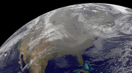
TODAY'S NATIONAL OUTLOOK
Hurricane Tracker
Smoot, WV
Cold & Flu
Smoot, WV
Snow & Ski Forecast
Smoot, WV
Allergy Forecast
Smoot, WV
Traffic Cameras
Smoot, WV
Outdoor Sports Guide
Smoot, WV